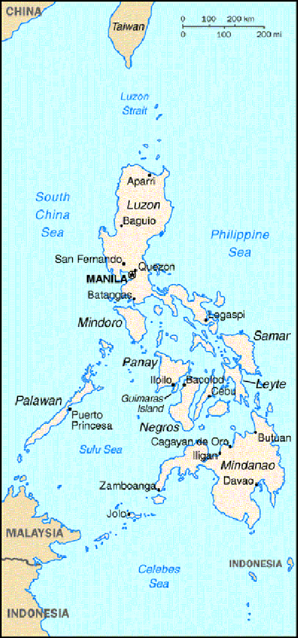
 The Philippines is located on southeast Asia .Manila is the capital of our country located on National Capital ,Luzon.
It has 7,107 islands w/ an estimate of more than 90.5 million, currently the 12 most populous country in the world. The Philippines has 3 island groups : Luzon , Visayas and Mindanao. These are divided into 17 regions,81 provinces,136 cities,1,494 municipalities and 41,995 barangays .
The following are the borders of the our country in every directions:
East-The Philippine Sea
West-South China Sea
South-Celebes Sea
North-few km South Taiwan
Our country covered w/ tropical rainforests. We have also many actives volcanoes. It is newly industrialized country. We have malls and some business buildings build on our capital. We have the largest mall in asia which is SM Mall of Asia located at Pasay City,Metro Manila.
